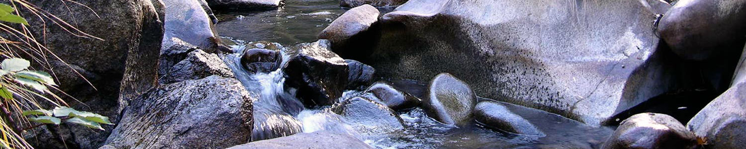
California has been experiencing one of its wettest water years in recent history. After four years of record breaking drought conditions, reservoirs throughout the state are nearing capacity or full due to the recent precipitation. In particular, storms at the beginning of January resulted in considerable runoff and caused widespread flooding throughout the state. From January 1 – 11, the upper portion of the Deer Creek watershed received 20 inches of rain. Runoff from these storms caused a sinkhole to develop in a parking lot near the confluence of Little Deer Creek and Deer Creek, and the Deer Creek floodwaters to rise into the streets and buildings of downtown Nevada City. Needless to say, many were surprised and impressed by how high Deer Creek flowed in Nevada City.
To put the floods from early January into perspective, we can follow the floodwaters downstream from Nevada City, and to the United States Geological Survey stream flow gauging station on Deer Creek. The stream flow gauging station is located 0.9 miles upstream from the Deer Creek and lower Yuba River confluence. The gauging station is useful for evaluating the recent high flow events in the context of historical floods because the gauge captures the majority of the runoff from the Deer Creek watershed and has a stream flow record that dates back over 80 years.

The storms in early January caused the stream flow in Deer Creek to peak at 10,000 cubic feet per second (cfs) on January 10, after a similar but smaller peak of 8,370 cfs on January 8 (Figure 1). As of early February the January 10 flow is still the highest peak flow of the year. To put this peak stream flow into perspective, the data for January 2017 was evaluated against the USGS annual peak streamflow dataset for Deer Creek (Figure 2). The annual peak streamflow dataset consists of the observed annual peak streamflow, as measured between October 1 and September 30 each water year.

Although the gauging record only dates back to 1935, the USGS estimated the peak stream flow based on survey data for a historical flood in 1928, which provides further context to the recent stream flows (Figure 2). The USGS data shows that the flood in January 2017 would rank as the 10th highest annual peak streamflow in the historical record. The January 2017 flood was the highest flow at the Deer Creek gauge since a flood at the onset of the drought in December 2012 (12,000 cfs). The highest peak flow ever observed at the gauge was in December 2005 (16,000 cfs).
While many may hope that the rains cease and the sun comes out, at least one river scientist is hoping for more rain, high flows; a continuation of what his father called “hydrologists heaven.” If you have any questions about stream flows in the Deer Creek watershed, please contact River Scientist Justin Wood at justin@sierrastreams.org. And make sure to check out these videos of flooding in Deer Creek!