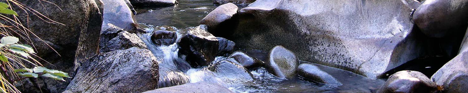
As we walked out into Ellis Meadow, the only thing we could hear was the hum of hundreds of buzzing bees. The bees, however, were not the reason we had bushwhacked up 1,700 feet of elevation and utilized our best orienteering skills to reach this meadow. Our real objective: assessing the health of mountain meadows.
For five days in July, I assisted a local team from American Rivers in conducting meadow assessments on backcountry mountain meadows in King’s Canyon National Park. The meadows we worked in had been heavily grazed for more than a century, from the 1870s to 1985. Our objective in this project was to evaluate the effectiveness of the erosion control efforts undertaken between 1948 and 1981 by the National Park’s seasonal Soil and Moisture Conservation Crew on these lands. Additionally, the assessments hoped to capture the current health of the meadow in order to prioritize future restoration work.
While conducting the assessments, we assigned a condition score between 1 and 4 (4 = natural condition and 1 = heavily impacted) for a variety of parameters including bank height, bank stability, length of gullies and ditches, vegetation cover, bare ground and conifer or upland shrub encroachment. The healthiest meadows would have no channel incision, gullies or ditches, banks 0-2 feet high, vegetation predominately graminoids, a herbaceous plant with a grass-like morphology, and no encroaching conifers or upland shrubs.
In addition to the scoring, we made a variety of other observations including ease of access, what types of wildlife were present, current use of the meadow, and whether any check dams (erosion control features) were found. Combining our condition scores and additional notes, the American Rivers project stakeholders will process the data in order to prioritize which meadows to target for restoration. In addition to the scoring data, these stakeholders will also consider the stacked benefits that this restoration could have for wildlife and any obstacles that may make restoration efforts more difficult. When meadows have been selected for restoration, this assessment information, along with an additional assessments and site visits, will be used to create a specific restoration plan.
As much I love backpacking and conducting field work, my real motivation in assisting this American Rivers team was to learn more about meadow assessment and restoration. Meadows are an extremely valuable ecosystem, responsible for managing water in a variety of ways. They reduce peak water flow after storms and during runoff, recharge groundwater supplies as they release water into the ground, protect streambanks, filter sediments, provide habitat for a wide variety of wildlife, and serve important recreational and cultural functions.
This field work focused on high elevation mountain meadows which is not a focus in the Deer Creek or Bear River watershed. However, my hope is that by learning this established protocol and being a part of from this ongoing project I can share this information with the SSI team and adapt this mountain meadow protocol to address the meadows we have right here in our home watersheds.
Karin Emanuelson, River Scientist (AmeriCorps)