This spring, with funding from the Sierra Nevada Conservancy (SNC), Sierra Streams Institute has kicked into high gear the process of developing a vegetation management plan for Bureau of Land Management (BLM) parcels in the Lower Steephollow region of the Sierra Nevada foothills. The plan will be shared with BLM for distillation and approved by a Registered Professional Forester for implementation. The 383-acre project area is located within the You Bet FireWise Community in Grass Valley (which, we were informed at the last FireWise meeting, is the largest FireWise Community in the country by acreage!). The document will guide wildfire risk reduction, and advocate for the removal of non-native species and re-vegetation of heavily-mined areas.
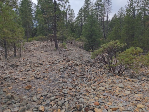
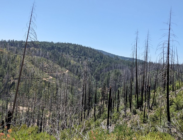
Historically, this land was hydraulically mined for gold, forming the steep ravines and undulating terrain we see on the project site today. The Bear River and its tributaries, most notably Steephollow Creek, further define the landscape before the Bear opens into Rollins Reservoir. Another major disturbance to the land occurred in 2015: the 2300-acre Lowell Fire originated at the bottom of Lowell Hill Road, unfortunately from recreation activities. Standing dead trees remain on hillslopes facing the river as a reminder of the high loss potential from stand-replacing wildfire. Oak (Quercus spp.) resprouts, ponderosa pine (Pinus ponderosa), and shrub species—e.g. manzanita (Ceanothus spp.), coffeeberry (Frangula californica) and deerbrush (Ceanothus integerrimus)—have returned after the fire.


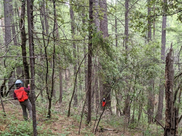
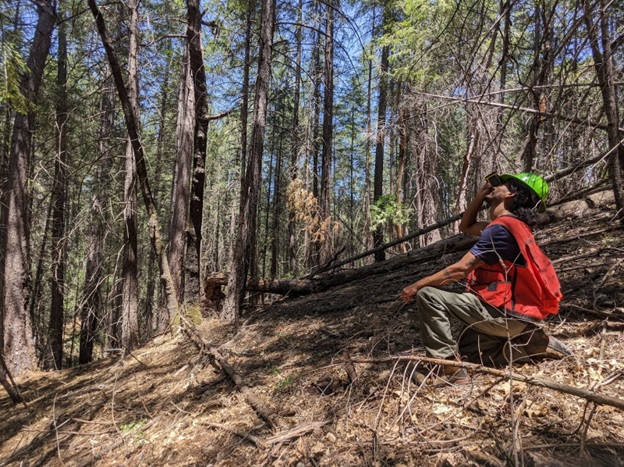
To develop an informed plan, we set out to collect data in plots that are representative of large forest stands, each distinguished by the tree species that primarily inhabit it. Inventory plots are randomly selected in the office, and as the name suggests, technicians “inventory” the stand at the plot level to characterize vegetation. Generally, inventory is a matter of counting and categorizing the trees and their offspring within a variable distance of the plot’s center. The data then gets analyzed using the Forest Vegetation Simulator (FVS), a U.S. Forest Service software package, which in turn offers metrics to assist with development of potential vegetation management actions.
The forest in the project area is generally mixed-conifer, comprised of Douglas-fir (Pseudotsuga menziesii) and ponderosa pine with the occasional sugar pine (Pinus lambertiana).


In order to include segments of the BLM land for proposed vegetation management work, road, trail, or general land access often must be sought and granted by private landowners whose properties are adjacent to the land – as is the case with this project. Not often what comes first to mind in regard to forestry, outreach and collaboration with private landowners is integral to the work that we do. The cooperation and enthusiasm of the You Bet community has proven essential to the success of this project thus far—the purpose of which is to lower the severity of future wildfires that will inevitably impact the residents of Lower Steephollow.

