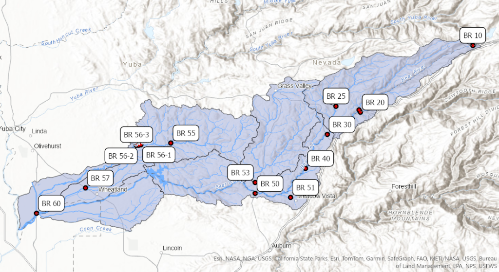
Welcome back to Part Two of our “Meet the SSI Monitoring Sites” series! While Sierra Stream Institute’s historic roots are in the Deer Creek watershed, in 2016 we expanded to include monitoring, restoration, and research in the Bear River watershed. SSI volunteers monitor 10 sites in the watershed as part of our quarterly monitoring program, and today we’d like to introduce you to the headwaters of the Bear River.
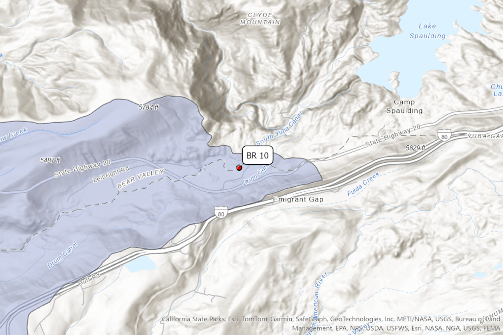
Located almost at the junction of Hwy 20 and I-80 near Emigrant Gap and Lake Spaulding, the Bear River cascades from steep cliffs into the wide flat meadow of Bear Valley. If you’ve visited Bear Valley, you might ask yourself how such a small headwaters stream could create such a large valley, and the answer is that it likely didn’t! Geologists believe the Bear River historically extended an additional 25 miles northeast, but glaciation deepened the Yuba gorge ultimately cutting off the Bear River’s higher elevation snowmelt1.
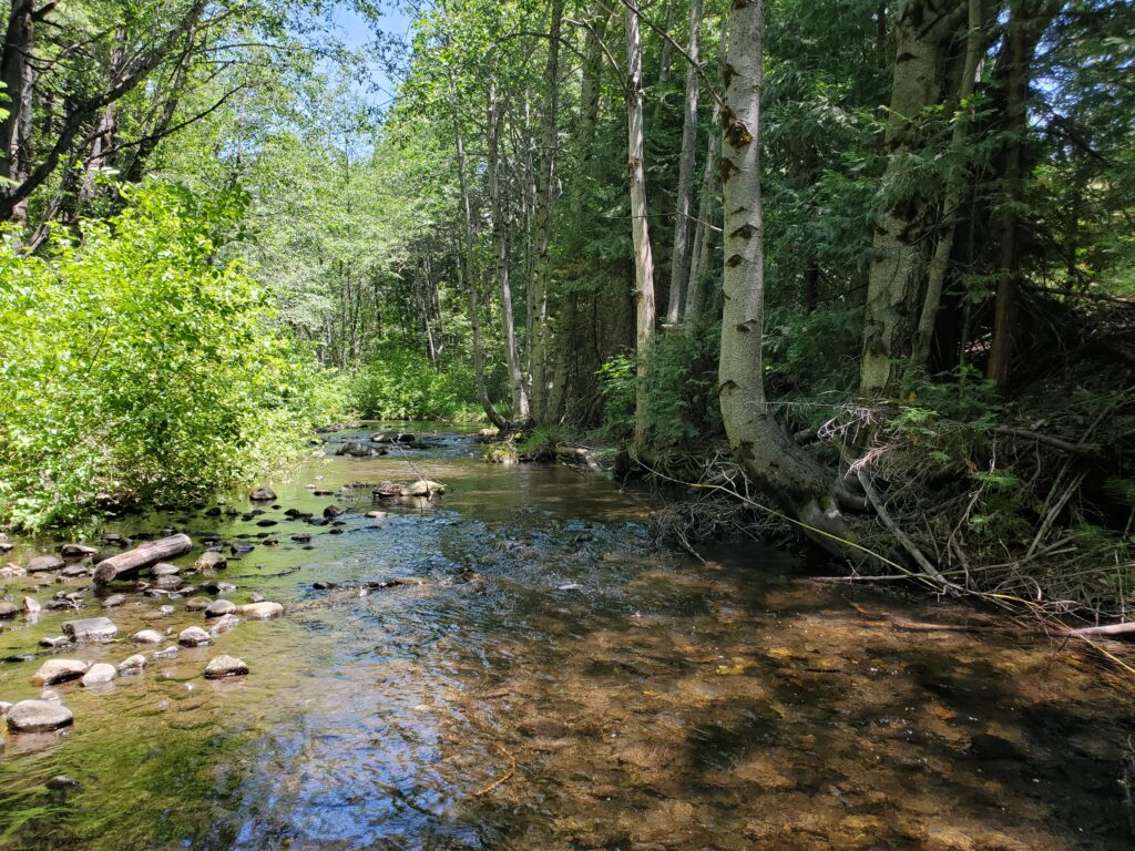
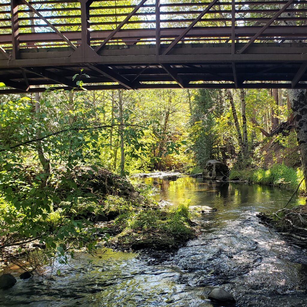
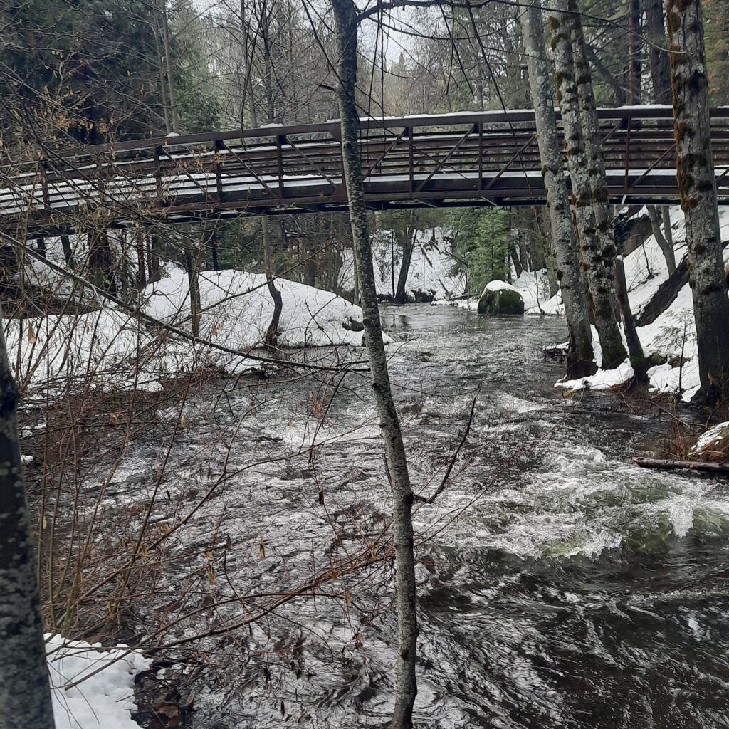
SSI monitors just upstream of Bear Valley near the Sierra Discovery Trailhead. If you’re on a brisk morning hike in January, April, July, or October, you might see one of our water quality monitoring crews out gathering data! SSI volunteers also perform in-depth creek surveys in June and October, collecting valuable data on benthic macroinvertebrates (BMIs), algae, and flow.
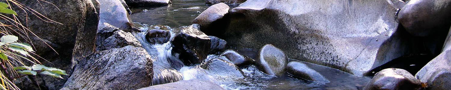
Akin to the headwaters of Deer Creek, this site is among the least impacted SSI monitoring sites in the Bear River watershed. Below the headwaters, the Bear River is dammed several locations and flows across many acres of agricultural land, but at the headwaters site, the Bear River is characteristically cold, clear, and brimming with bugs in the summer and fall!
If you’re interested in helping SSI monitor water quality, habitat, and BMI communities in this gorgeous montane location, please reach out to the Water Quality or BMI labs. SSI needs more long-term water quality volunteers in the Bear River watershed, and this site could be yours to adopt!
To learn more about volunteer opportunities and internships with SSI visit our Volunteer webpage here or Sign Up to become a volunteer!
Reference:
- James, L. Allan. “Diversion of the Upper Bear River: Glacial Diffluence and Quaternary Erosion, Sierra Nevada, California.” Geomorphology, Glacial Geomorphology: Process and Form Development, 14, no. 2 (November 1, 1995): 131–48. https://doi.org/10.1016/0169-555X(95)00054-7.