Field Season Recap!
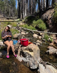
Now that we head into fall, it’s a perfect time to reflect on our 2026 monitoring field season here ...

In January of this year (2026), we received great news that our request for federal funding to reduce fuels and improve forest health on Bureau of Land Management (BLM) parcels in the Jones Bar neighborhood, about 5 miles west of Nevada City, was rewarded! SSI received funding to plan, implement, and educate the community on 154 acres of fuels treatments on this public land. SSI has been working in the area for quite some time now, managing the Sierra Foothills Forest and Climate Resilience Project (SFFCR) in the Jones Bar Firewise Community, so we thought it would be good a good time to give an update on the project.
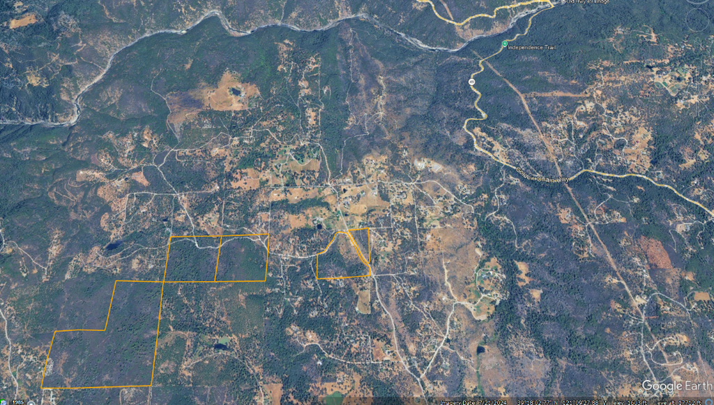
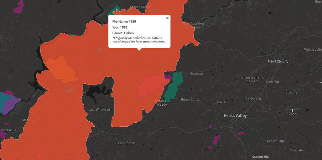
These 5 BLM parcels make up ~240 acres in a focal point at the center of the Jones Bar FireWise Community and many residents who live down Owl Creek Rd. drive through this public land on a daily basis. You can tell quite easily which parcels are BLM land when driving by or via satellite (see Google Earth Image below) by seeing a dense wall of vegetation. This is even more apparent due to all the fuels treatments on adjacent private parcels completed in the last couple years. Outside of some community volunteer efforts to clear/mow alongside Owl Creek Rd. to improve ingress/egress, this land has been largely untouched since the 49er Fire that swept through the area in 1988 (see map below). While pockets in the drainages that held more moisture and larger Incense Cedars and Ponderosas survived high intensity fire, the majority of this area burned hot and decimated the existing canopy. Without further disturbances, what has grown back since 1988 is a contiguous, dense patch of Manzanita in areas with no surviving trees and small diameter trees and shrubs (including invasive Scotch Broom, Cytisus scoparius) in the lower severity areas. Had this landscape experienced disturbances such as wildfire in the last 50 years (this ecosystem’s Fire Return Interval is about every 15-30 years), it would look a little more diverse and heterogenous, with openings both vertically and horizontally in the forest structure vs. what has largely turned into a wall of vegetation. This has created the prime example of the definition of ladder fuels, much of which can be seen elsewhere in the county on untreated/unburned parcels. At this point, if a fire were to hit this area, there are few points to break up its continuous growth. Hence the importance of managing parcels like these.
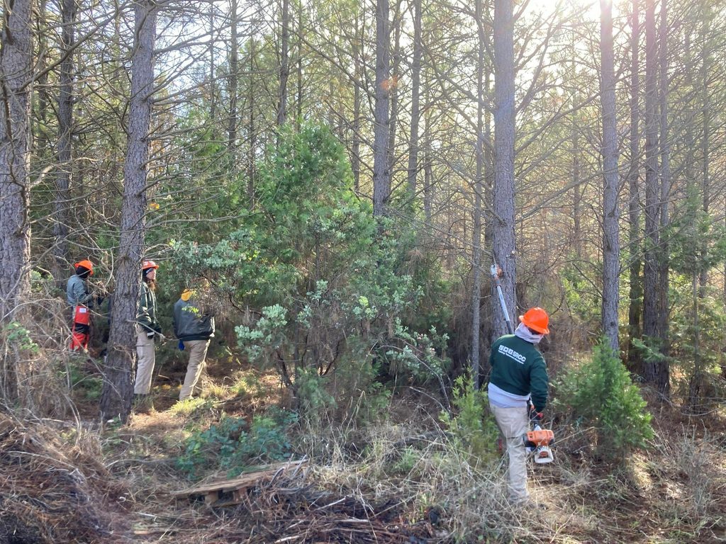
Originally, these parcels were added as part of the CA Wildlife Conservation Board (WCB)-funded SFFCR Project, with the idea to partner with the California Conservation Corps (CCC) to acquire their own funding to treat 90 acres of this land with the prescription informed by SSI forest inventory surveys in the area in 2022-23 and finalized by SSI and BLM staff. These treatment areas were held to only 200’ from existing roads and property lines. The goal was to train up new conservationists on this CCC crew while cutting and chipping understory fuels and invasives (these parcels are quite the epicenter for Scotch Broom). With this partnership, a CCC crew from Sacramento was able to treat 9 acres alongside Owl Creek Rd. before funding dried up. A great accomplishment and learning opportunity for everyone, but that left the funding situation dry.
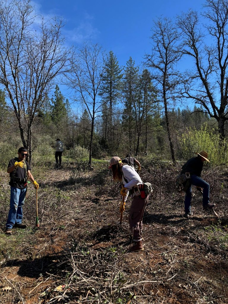
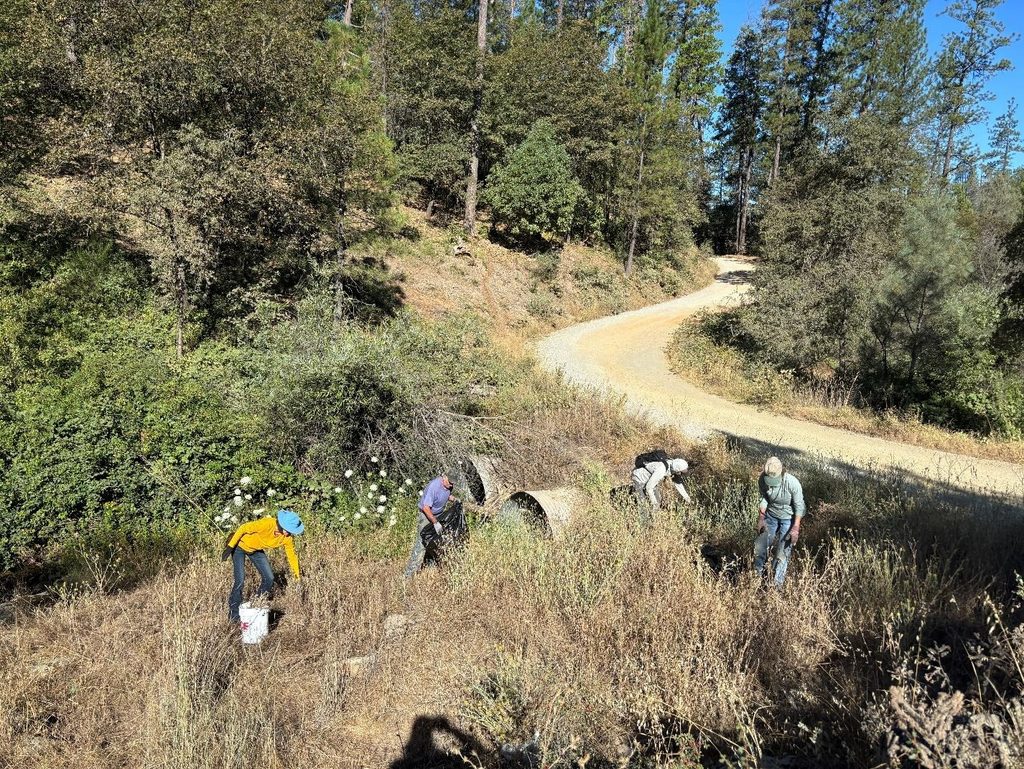
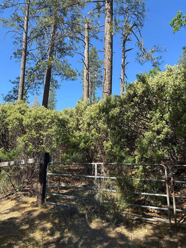
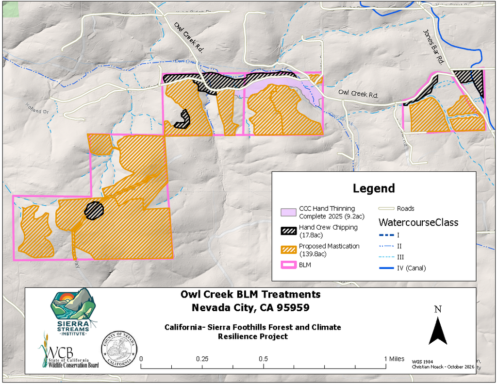
Now, finally, with this BLM-funded project, we have the funding to not only treat 90 acres, but have worked with BLM to open up limitations via a different federal environmental compliance procedure (NEPA) to cover 154 acres over the entirety of the parcels (see map below). This is a really great opportunity in this climate to use federal funds to treat federal lands and help carry the load for an historically understaffed department, managing a ton of acres. With spring and summer 2026 spent planning, walking (crawling under brush really), and delineating these treatments, we are set to begin work as soon as the region’s BLM office opens up their fire restrictions hopefully in November. Unfortunately these restrictions have been becoming increasingly stringent and further into fall and spring seasons, so the window is tight to complete all this work before the next fire season.
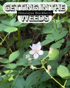
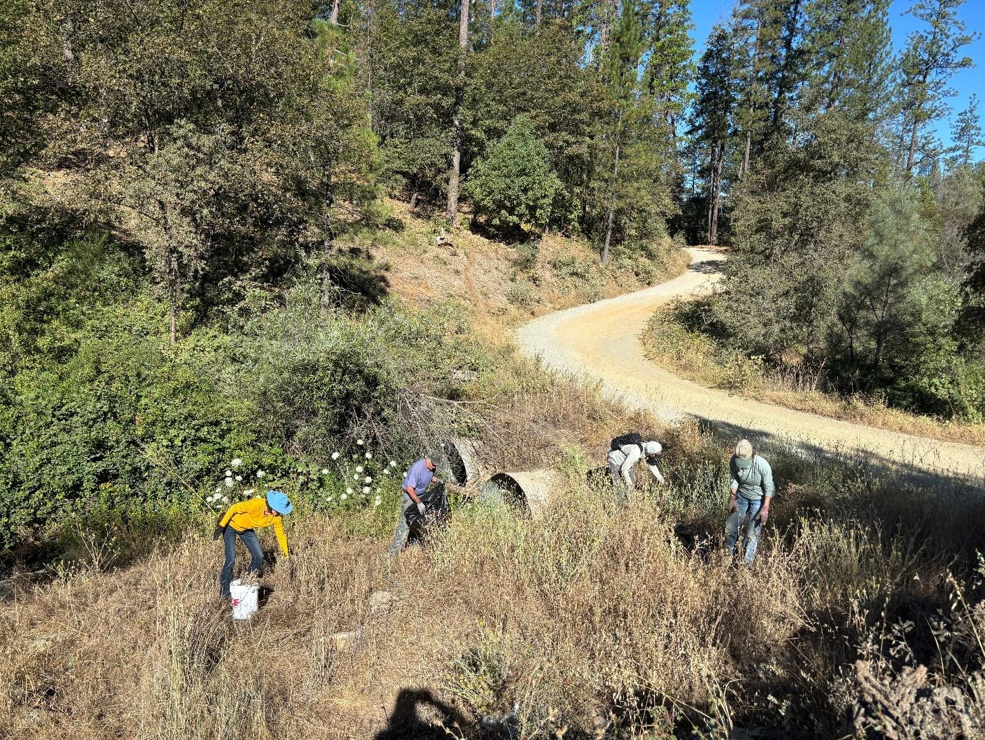
In the meantime, SSI utilized these acres to train up the Greensleeves crew, a new non-profit in the area, by pulling Scotch broom and Himalayan blackberry regrowth and thinning basally sprouting hardwoods in Spring 2026 after the recent CCC treatment in 2024-25. Greensleeves’ goal is to lift individuals out of poverty to heal the land by hand and we were honored to be able to work alongside them. We were also excited to organize SSI volunteers for a yellow star-thistle (Centauria solstiitialis) removal day and hope to do more in the future as invasives germinate after disturbance.
Of course, another great option for limiting regrowth, invasive, and fuels would be to burn it! We would love to get good fire back onto the landscape (and have been doing so on nearby private parcels), but current policy requires BLM staff to be present or to work the prescribed fire themselves. Due to capacity restraints, we’ve elected to masticate or chip the material in-place as a first step, with the hope that it may become easier to burn on public land in the near future. We are looking into utilizing biokilns to eliminate and burn some of the fuels where heaviest or where invasives are most prevalent (Himalayan blackberry, Scotch Broom, etc.) and creating biochar in the process. Due to the timing, funding, and capacity restraints, our scope of work is to masticate the small diameter vegetation (under 12” DBH) where feasible or hand cut and chip nearby watercourses or where it is too steep for larger equipment to access. As always with this kind of work, SSI likes to avoid “understory clearcutting” by marking and prioritizing native retention species and maintaining small islands of untreated vegetation by leaving clumps and gaps, simulating natural disturbances. Selected local contractors will also fall hazard trees alongside Owl Creek Rd. and the property lines that could limit ingress/egress during an emergency or spread disease/pests.
We plan to use foliar application of a WCB approved herbicide, Triclopyr, on Scotch broom and hardwood stumps to limit regrowth of ladder fuels and invasive takeover to get ahead of the possibility that this land might not be treated again for another 50 years (not if SSI has anything to say about it!). This herbicide treatment will happen via licensed applicators in the heat of summer with no precipitation on the horizon to increase the effectiveness of the treatment while also eliminating risk of any runoff. Triclopyr is active until it dries (less than 1 day) and works as a systemic substance by mimicking a plant hormone that causes uncontrolled growth, leading to plant death slowly over a couple weeks. Here’s more info from the National Pesticide Information Center (https://npic.orst.edu/factsheets/triclopyrgen.html) if interested.
Our team is really excited for the opportunity to increase the effectiveness of adjacent private fuels treatments and will be monitoring for effectiveness as well as species diversity and richness following these treatments. We look forward to sharing the outcome of this project with public tours, volunteer opportunities, and studies available to the public. All adjacent landowners have been informed of these treatments via mail from BLM, but please don’t hesitate to reach out if you have any ideas, questions, concerns, or just to chat about the work! We’re looking to involve the community as much as possible so we can learn together in this changing landscape of responsible stewardship.
Happy thinning!