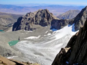
Ask A Scientist – Are There Any Sierra Glaciers Left?
The short answer to this questions is yes, but lets dive into what type of glaciers we have, where w...

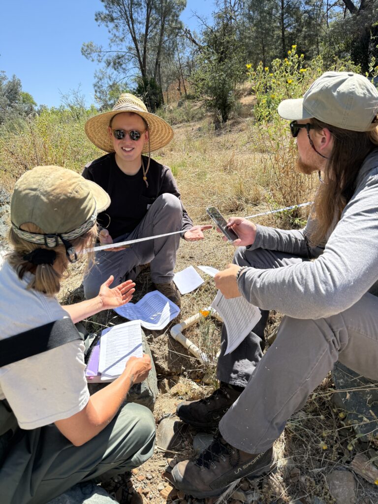
Last week I had the privilege to tag along with our Restoration Team to participate on their vegetation survey of Dry Creek. These surveys happen on an annual basis and help give us a look into how our restoration efforts on Dry Creek are going. Our vegetation surveys occurs in late June to capture as many plants of possible including early blooming plants, which have already completed their life cycle, through late blooming plants, some of which have not even flowered yet.
Over the course of the week, our restoration team completed 8 vegetation surveys (using 50m transects) along dry creek, four down river from the dam site, one at the dam site, and three up river from the dam site. We completed two of these transects on the day I was present. This was my first vegetation survey and I felt like I learned a lot, not just about the methodology of the survey but also the plants themselves.

Our first step was to lay the 50 meter transect line roughly 50 meters from the original dam site. It was not an easy task to keep the transect line straight as we were dealing with some healthy willow trees, and thus we used a compass bearing to keep us on track. After the transect was in place, it was time to start capturing the vegetation. We used a 200 x 200cm PVC plot frame that was placed every 70cm along the transect line.
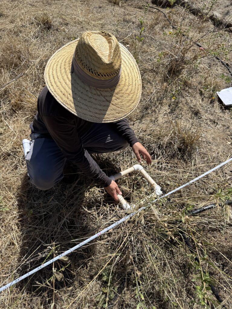
For each plot we make sure to capture the percentage of ground cover. These are labeled in the following categories: soil, litter, silt, gravel, sand, cobble, rock, and boulder. After cataloging the cover type, we list all the plant species rooted in the plot frame. We do not capture species that are hanging over or covering the area, but only the ones who had established roots. Due to the time of year we are doing the survey, it is not always easy to figure out the exact plant species present in the plot frame.
While the process is simple and straightforward, we captured all of this data 72 times along each transect. If there is a species that our team is unable to identify, and there are more than one example in the area, they will pull the plant to identify it in the lab (this processing is called keying in botany). It took our team about 3.5 hours to complete the two transect surveys, and with the majority of the work conducted in exposed and hot conditions we were ready to get back to the cool temperatures of the office.
Our lead restoration technician, Alex, gave some more incite into why we do these surveys and what they tell us:
Aside from death and taxes, the only constant is change. At SSI we use various monitoring methods to track changes over time in hopes of noticing trends. These trends inform our restoration practices and our understanding of the ecosystems we work in. The Restoration team is monitoring vegetation at a dam removal project on Dry Creek to understand which plants return following dam removal and earthwork, and to determine how successful our vegetation management has been. In particular, we want native, riparian vegetation to establish along Dry Creek to support anadromous fish like salmon and steelhead trout by shading the creek, thereby keeping it cooler in the warm season, as well as providing forage and habitat for beneficial insects.
To detect change in our project area we focus on frequency, or how often a given plant is encountered on the landscape. After collecting these data over a quarter mile of transects in the ~2 acre restoration site, we categorize each plant species by whether it is native or non-native and whether it is a riparian plant; and how much bare soil is exposed versus being covered by plant litter, rocks, or other materials. These three criteria are important to us because our goals are to increase in-channel riparian shade, increase ecological function, and decrease bare soil and potential for runoff and erosion into Dry Creek.
Data analysis and results are preliminary, but so far we are seeing an increase in plants like cottonwoods and willows (major contributors to creekside shade) and a decrease in invasive vegetation like poison hemlock and star thistle. This tells us that our restoration practices are working…or perhaps that the creek ecosystem can do quite a bit of healing on its own. Time (and more data) will tell!